Platform Overview
Welcome to the dedicated platform page.
EodataInfra is a modular, API-first data infrastructure platform that enables organizations to commercialise, access, and scale Earth Observation data seamlessly across cloud environments.
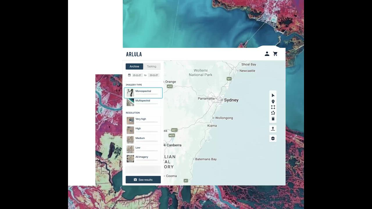
EodataInfra provides the core infrastructure and data services to discover, access and commercialise satellite data.
Access and manage data programmatically via robust APIs.
Deploy only the components you need, ensuring seamless integration.
Designed for developer productivity and rapid prototyping.
Deploy within your VPC, on-premise, or across public clouds.
Designed to slot in, then scale with you
Uncover the full scope of EO data available.
Slot into existing workflows, enhancing capabilities.
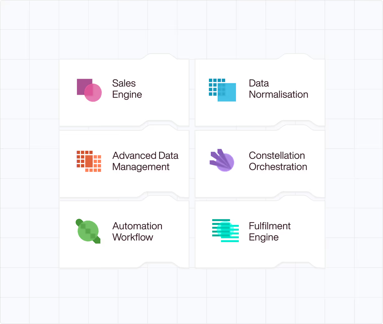
A comprehensive set of modules that seamlessly integrate.
Monetise your satellite data and derived products through a unified marketplace.
Standardise imagery and metadata of satellite data in the cloud.
Build highly scalable processing pipelines to ingest, transform, and deliver.
Discover, order, and download data from multiple providers.
EodataInfra is built for organisations where EO data is a core part of daily operations.
Designed for businesses of all sizes.
Open, vendor-neutral architecture prevents lock-in.
Tap into an ever-expanding network of commercial and public satellite constellations. EodataInfra harmonizes telemetry and optical feeds from over 500 active orbital assets.
Process petabytes of spatial data directly at the edge to minimize latency and bandwidth costs. Our infrastructure routes heavy geospatial workloads automatically.
Built from the ground up for classified workloads and rigorous regulatory requirements. Full end-to-end encryption for all geospatial telemetry.
Deep dive into the EodataInfra architectural ecosystem.
Welcome to the dedicated platform page.
How global leaders leverage our spatial infrastructure.
Welcome to the dedicated use cases page.
API documentation, SDKs, and engineering blogs.
Access the EodataInfra developer portal here.
Our mission to connect the Earth's orbit to enterprise data lakes.
Learn about our founders, investors, and company mission here.
Don't have an account? Register here.
Already have an account? Login here.